Vietnam Actually Does Have Earthquakes — Most People Just Don't Notice
Most people picture Vietnam's natural disasters as typhoons and floods, not earthquakes. But halfway through this month, Vietnam has already had two. 'Vietnam isn't in a seismic zone' is true — stretching that into 'no earthquakes' misses what's actually happening.
[Vietnam Actually Does Have Earthquakes — Most People Just Don't Notice]
Halfway through May, Vietnam has already recorded two earthquakes of magnitude 3 or above. Both struck the northwestern highlands. The larger one was a 4.0.
For most people, Vietnam's natural disasters mean typhoons, floods, and Mekong droughts. Earthquakes don't make the list.
It's true that Vietnam doesn't sit on the Pacific Ring of Fire or the Eurasian-Indo-Australian plate boundary. But there's a difference between "relatively low seismic activity" and "no earthquakes at all."
Conflating the two is a mistake.
01 | The Past Year of Earthquakes in Vietnam
Here's what the past year or two has looked like inside Vietnam:
In the summer of 2024, the mountainous Kon Tum province had 44 earthquakes in a day and a half — the most concentrated cluster ever recorded there.
In May 2025, Vietnam logged 31 earthquakes in a single month, almost all in Kon Tum and the neighboring Quảng Nam province.
In 2026 so far, smaller tremors have continued sporadically, including two this month alone.
Then there was the bigger event. A year ago, a magnitude 7.7 earthquake struck Myanmar. The seismic waves traveled more than 1,000 km to Ho Chi Minh City, where apartments swayed, residents evacuated, and one person died from shock during the evacuation. (More on this in section 03.)
Compared with neighbors like Indonesia, the Philippines, and Myanmar — where M 6+ quakes are routine — Vietnam's earthquakes really aren't large. But "not large" and "not happening" are two different things.
02 | Why Kon Tum Had 44 Quakes in a Day: A Side Effect of Hydropower
Most people associate earthquakes with tectonic plate movement. Kon Tum's earthquakes have a different cause.
Nguyễn Xuân Anh, director of Vietnam's Earthquake Information and Tsunami Warning Center at the Institute of Geophysics, has publicly stated that Kon Tum's earthquakes are largely induced by hydropower reservoirs.
The mechanism isn't complicated. As reservoirs fill and drain each year, the shifting water weight puts varying pressure on faults below. Water also seeps into the ground, prying existing cracks open or creating new ones. The crust becomes unstable, and the accumulated stress releases as small-to-moderate earthquakes.
The Kon Plông district has six hydropower projects, three of which have reservoirs. The Institute later identified Sông Tranh 2 and Thượng Kon Tum as the main inducers.
The Institute's forecast is conservative. These induced earthquakes will keep happening, but they're unlikely to exceed magnitude 5.5. The full effect could take about ten years to subside.
03 | Do Hanoi and Ho Chi Minh City Face Earthquake Risk?
Yes — and the risks have completely different sources in each city. They're worth looking at separately.
Start with Hanoi.
The Red River fault zone originates in China's Yunnan province, runs northwest-to-southeast, and ends in northern Vietnam's Vĩnh Phúc province. The fault moves a few millimeters per year. About 30 earthquakes have been recorded along it inside Vietnamese territory, mostly small to moderate.
Now Ho Chi Minh City.
The World Bank's disaster risk assessment classifies Hanoi as medium risk — a 10% chance of damaging shaking over 50 years. HCMC is low risk, at just 2%. By those numbers, HCMC should be the safer of the two.
Last year's Myanmar earthquake punctured that intuition.
The epicenter was in Myanmar's Sagaing region, more than 1,000 km from HCMC. By Vietnam's own seismic monitoring, no earthquake had actually occurred inside Vietnam — the official disaster risk rating was zero.
But when the seismic waves reached HCMC, residents across multiple central districts (Districts 1, 3, Phú Nhuận, Bình Thạnh, District 11, and others) clearly felt their high-rise buildings sway. Many ran out to the streets. One person died from shock while evacuating.
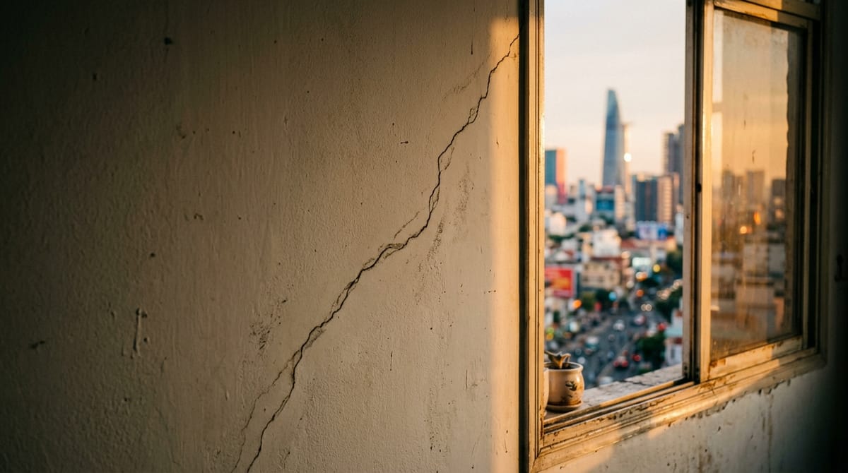
The most visible damage hit the Diamond Riverside apartment complex in District 8, where nearly 400 units ended up with cracked walls — about a quarter of the entire complex.
How could a quake 1,000 km away cause this? Vietnamese experts gave two reasons in interviews at the time.
➤ Tall buildings sway at a slow frequency. That frequency happens to align with the long surface waves that strong, shallow distant earthquakes send out, creating resonance. The taller the building, the more pronounced the swaying.
➤ HCMC's ground is soft. The whole city sits on Saigon River alluvial deposits, and soft soil amplifies seismic waves rather than dampening them.
The "2% probability" isn't wrong. It just doesn't capture what happens when soft soil, tall buildings, and a strong distant quake combine.
After May 2025's 31-quake month, Nguyễn Xuân Anh publicly called for a nationwide hazard review, specifically flagging "densely populated cities and critical infrastructure" as priorities.
So the next time someone tells you Vietnam doesn't have earthquakes, feel free to share this article with them.
The Viet Media Monthly
A curated monthly digest of the most important political, economic, tech, and industry developments in Vietnam.
Designed for reading on desktop or tablet — no algorithm, no noise. Just the stories that matter.
Delivered before the 10th of each month. Cancel anytime.